


“Data analysis of Ground Penetrating Radar is our core business strength.”
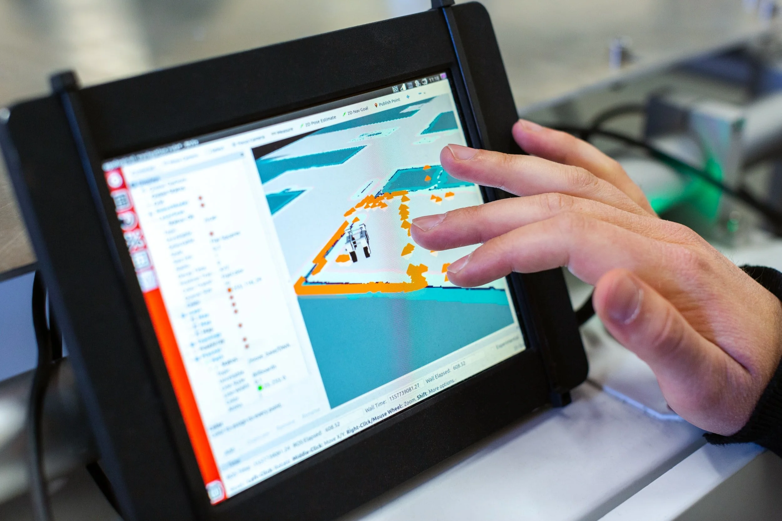
We interpret data using our in-house software. It was developed to answer the specific needs for in-depth analysis of our datasets. Our software allows us to process the GPR data in a unique way and provide an accurate evaluation of the structure’s condition
Ground Penetrating Radar

GPR is a non-destructive testing method that allows us to measure the contamination inside the concrete to see how rusty the concrete can be, eventually to understand if it’s worth knocking down the whole structure or if it is secure to keep the structure for the henceforth years.
3D LiDar

We use the 3D Lidar scan to recognize patterns in complex geometries. In case the construction plans are missing, this is a very useful step to have an image of the structure on which we can project our maps and link our results to visible defects of the structure.
TECHNICAL KNOW-HOW
Our engineering experts identify key elements of GPR data to calculate the electric conductivity, conductance, and depth of each feature to distinguish the location, the severity, and the extent of a chemical disorder. With this information, we produce the corrosion risk map of the reinforcement and evaluate the most probable cause of degradation of the structure.
To see in-depth details, visit Bridgology